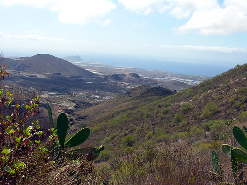
Looking down at my feet the path was dry, angular and rocky, looking up the sky was almost clear blue with a baking sun, but looking around Camino de La Hoya was green and fertile with clear signs of an agricultural past. Quite a contrast but as the walk went on it was clear that water was never far away from me and had been a key ingredient in attracting early settlers to this route that links the municipalities of Arona and San Miguel. Having not tackled the Path Of The Hollow, to give it a loose transaltion, for years my memory was a little patchy as I caught the 416 Granadilla Titsa bus from Los Cristianos. Just 30 minutes later and one euro lighter on my bono ticket I had passed through Cabo Blanco and Valle San Lorenzo on the way up to La Centinela restuarant and mirador. This stylish modern eaterie is the meat, fish and chicken in the sandwich between Arona and San Miguel and also the doorway to the twisting descending path. Despite the heat of the morning I had a coffee in La Centinela so I could admire the panoramic view that would greet diners later in the day.
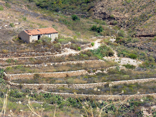
Taking the first few steps downward below the restaurant bay windows I wondered how many walkers had amused their well watered watchers with stumbles and slides, the initial steep incline had little grip and I was glad to hit the firmer path. Of course I took my time to get going as the views were crying out to be photographed, in the distance Montaña Roja jutted out into the sea at El Medano and a quick swivel of the neck revealed Los Cristianos and Las Americas through a parting of the mountains. Spreading out like a patchwork the terraced slopes confirmed the ingenuity of early settlers. The pathway showed signs of horseback visitors, I did my best to avoid taking evidence of their passing with me.
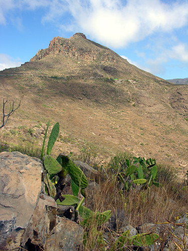
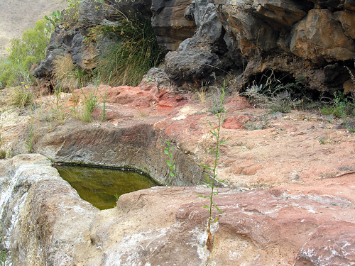
Looking down on this landscape is Roque de Jama a protected national monument and a stunning example of past volcanic action. Its flaked and splintered cone is a beacon for miles around and another inspiration to the walkers below. The floor of the valley is a rich source of pummice but it was also an area of trade and commerce as people met at the various springs to top up on water. Near the end of the walk natural troughs and channels are carved into the red imperneable rock collecting the rain and moisture that runs down through the fractured rock above. The spring was barely a trickle on my visit and the water looked stagnant but I could hear the dripping further up, enough to know that a short shower would soon refresh this as it has done for thousands of years.
Heading up and off the track I was back on a main road linking to San Miguel, a restored rural house, Vera de La Hoya and an old tile kiln were part of the Caserio de La Hoya, one of the earliest settlements. Pipes along the road side gurgled with cold fresh water as I sweated like Lee Evans in a sauna, time to make a choice, retrace my steps or head on to San Miguel along the Sendero de Tamaide. This narrower and less clear walk skirted a barranco but there was the option of descending down to another natural spring so I made like a goat and took the steep uneven track downward.
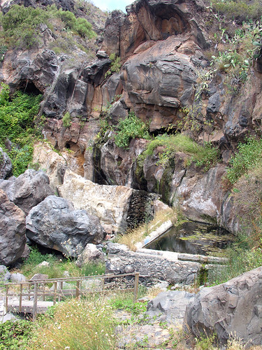
After scrambling over some boulders I was staring up a large rockface with streams of water running down like a baby version of Barranco del Invierno in Adeje. A rickety wooden bridge seperated me from my path upwards and a thin wild cat sprinted up the rocky steps ahead teasing me with the promise of an easy climb, what a furry fibber.Rising up from the cooler leafy basement I could make out the main road ahead and another steep walk, this time on concrete, into San Miguel. Looking back I could just see La Centinela beyond Roque de Jama and onward the spire of the San Miguel church pulled me towards the cold beer that awaited. In total the walks took nearly two and a half hours but it whizzed by as my Titsa bus, one an hour at weekends, took the high road before heading down into Los Cristianos.